
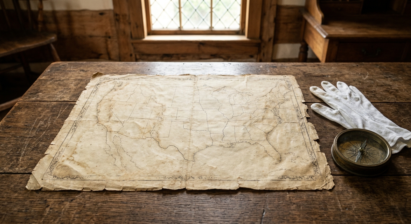
AI-generated illustration; not a photograph of the reported event.
- calendar_today October 29, 2026
Historic Mason-Dixon Line Map Up for Auction
The original map of the Mason-Dixon Line, a landmark boundary map separating Pennsylvania and Maryland, is set to be auctioned this Thursday. Drawn in Philadelphia during the late 18th century, the map holds significant importance in both American colonial history and the later division between free and slave states.
Origins and Creation of the Boundary Map
The Mason-Dixon Line was hand drawn and published in Philadelphia in 1767 and 1768, following extensive land surveying and measurement efforts by English surveyors Charles Mason and Jeremiah Dixon. Their work aimed to resolve a longstanding border dispute between the provinces of Pennsylvania and Maryland—both under English control at that time. To achieve unprecedented accuracy, Mason and Dixon used specialized instruments created specifically for this project.
The Map’s Journey and Ownership
Initially, the original map was gifted to Benjamin Chew, a lawyer representing the heirs of William Penn. The Chew family preserved it for many years, until selling the map in 1982, when Forbes magazine founder Malcolm Forbes purchased it for $360,000. The Library of Congress also bid at this time but was outbid. In 2002, a private collector acquired the historical map during another auction, paying $556,000.
Specifications and Unique Features
The map itself measures six inches in height and 76 inches in length, bordered by Japanese rice paper. According to Brunk Auctions, which is handling the current sale, the document ends at Dunkard Creek in Greene County, with the word “warpath” marking the conclusion. Lauren Brunk, vice president of Brunk Auctions, explained that Indigenous guides were involved in its creation, but the survey could extend no further due to tribal treaty boundaries.
Historical Significance of the Mason-Dixon Line
The Mason-Dixon Line was established as a firm boundary between Pennsylvania and Maryland, resolving decades of uncertainty. In later years, particularly during the Missouri Compromise in 1820 and the lead-up to the Civil War, this border became a symbolic division between North and South—free and slave states. As a result, the map stands as a vital artifact from the colonial period, representing politics, geography, and land surveying expertise.
Present Status and Auction Expectations
Today, the Mason-Dixon Line map remains privately held and has occasionally been loaned to institutions, including an exhibit at Colonial Williamsburg. Despite its limited public exposure, the upcoming auction represents a rare chance for institutions, foundations, or private collectors to acquire a piece of American history. Brunk Auctions estimates the auction sale price may range from $800,000 to $1.2 million, approximately aligning with the inflation-adjusted value from its 2002 sale.
Looking Ahead
Lauren Brunk expressed hope that the next owner will continue to explore the map’s stories and significance, possibly revealing even more about this iconic historical map and its place in American history.
Source: phillyvoice.com.